
Sale!
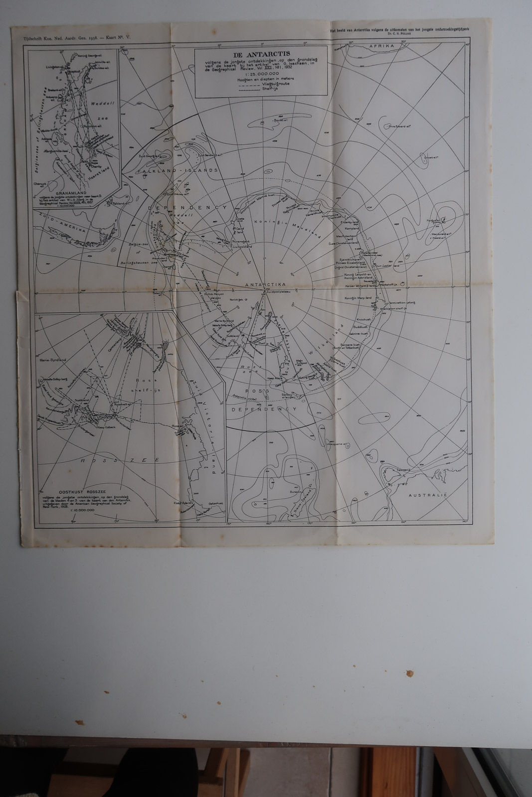
Description Map of Antarctica according to the latest findings in 1938, also showing parts of New Zealand, Australia, Tasmania etc. Made by an anonymous engraver after Aardr. Genootschap. Medium: Lithograph on wove (vellin) paper. Image size: 41 x 45 cm. (16.14 x 17.72 inch). Condition: good, given age. Original folds as issued. Some browning of paper. General age-related toning and/or occasional minor defects from handling. Please study scan carefully. ANTARCTICA-SOUTH POLE | PCO-B5-28 BACKGROUND INFORMATION Source: ‘Tijdschrift van het Koninklijk Nederlandsch Aardrijkskundig Genootschap’, a periodical published from 1888-1966, initially published by C.F. Stemler and later by Brinkman/Beijers (from 1879) and Brill (from 1891). This item dates from 1938.