
Sale!
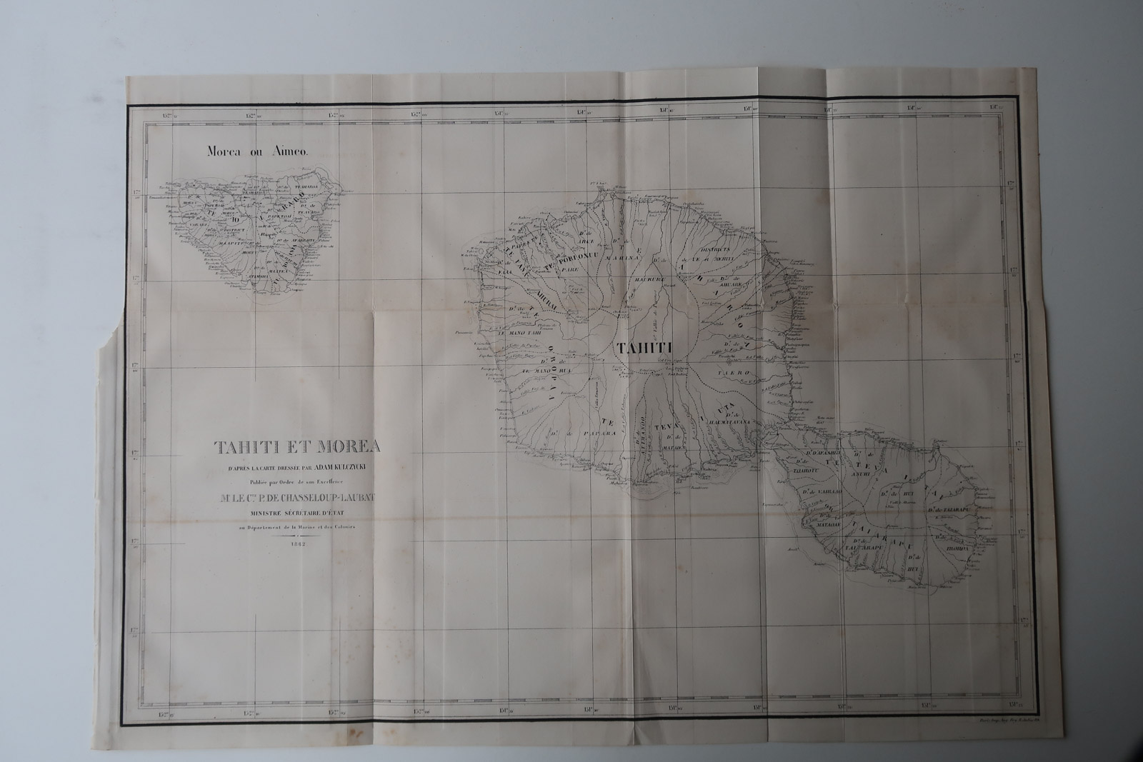
Description Detailed French navy map of Tahiti and Moorea in French Polynesia as it was in 1862. After the map by Adam Kulczycki. Made by Anonymous after Revue Maritime. Medium: Etching / Engraving on wove (vellin) paper. Sheet size: 49 x 35 cm (19.29 x 13.78 inch). Condition: good, given age. Original folds as issued. Some foxing/browning, which can be removed on request. General age-related toning and/or occasional minor defects from handling. Please study scan carefully. FRENCH POLYNESIA-NAVY-TAHITI-MOOREA | PCO-B5-04 BACKGROUND INFORMATION From ‘Revue Martime et Coloniale’, a periodical published in Paris from 1861-1896 by the French ‘Ministere de la Marine et des Colonies’. This item was published in 1869.